 Downtown San Diego, as seen from the runway at Lindbergh Field.
 Lindbergh Field, San Diego Bay, and Point Loma.
 Naval Training Center Housing, Shelter Island, and Point Loma.
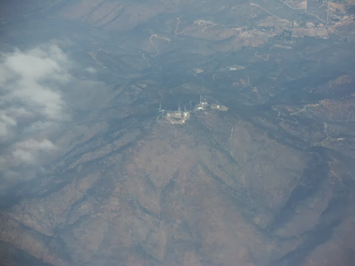 San Miguel Mountain again, but this time from higher up and about an hour after the previous view, with the marine stratus clouds receding as the day warms up.
 Interstate 8 and Kitchen Creek Road.
 Thing Valley and the escarpment of the Coast Range above the desert near Mt. Laguna.
 Wind Farm near Golden Acorn Casino.
 Fish Creek Mountains and Superstition Mountain, and the bleak-looking desert west of the Imperial Valley.
 New River, the Imperial Valley, and the Salton Sea.
 Laguna Dam and Imperial Reservoir, from which water is removed from the Colorado River and sent to the Imperial Valley.
 Laguna Dam and Imperial Reservoir, from which water is removed from the Colorado River and sent to the Imperial Valley.
 At first, I thought there must be some kind of power plant down there making all this smoke. The coherent smoke plumes went a considerable distance downwind, 30 miles and more, up to and a bit past the Castle Dome Mountains. But there is no power plant. This appears to be agricultural burning in the vicinity of Martinez Lake, next to the Colorado River.
 After a cloudy interval over Arizona, here we are in western New Mexico, looking at the southern end of the Malpais, SW of Grants.
 Impressive escarpment about forty-six miles west of Los Lunas, and about 9 miles SSE of Acoma. Acoma is in the distance, but can't be made out easily.
 Impressive escarpment about forty-six miles west of Los Lunas, and about 9 miles SSE of Acoma. Acoma is in the distance, but can't be made out easily.
 Acoma Pueblo is the oldest continuously-occupied village in the entire continental United States, and dates to the 1200's, or even earlier.
Squinting from the plane, I wasn't precisely sure where Acoma was. The little tower on the right is about 3.5 miles south of Acoma.
 None other than famous Enchanted Mesa, 2.4 miles NE of Acoma!
 Mt. Taylor (known by the Navajo as Tsoodzil).
 Rio San Jose, with BN&SF railroad (on the left) and Interstate-40 (on the right).
 Route 66 Casino, at the Rio Puerco, on Interstate-40 west of Albuquerque.
 The Rio Puerco Valley.
 The Volcanoes of Albuquerque's West Mesa, and Double Eagle Airport.
 This is "J" Mountain. Before St. Joseph's College became defunct the students used to make annual trips here to refurbish the "J" with lime. Decades of neglect have almost erased the "J".
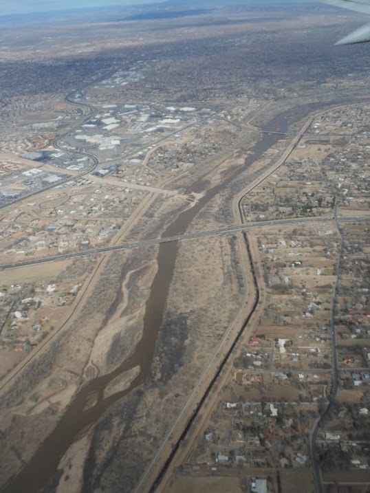 Paseo del Norte crossing over the Rio Grande, in Albuquerque's North Valley.
 San Antonio Dr. NE and Interstate-25, with the Sandia Mountains in the background.
No comments:
Post a Comment