Last Updated: May 24, 2019.
Link to Top-Level Menu
Link to Top-Level Map
Action. A small-town sheriff (Arnold Schwarzenegger) and his force strive to keep a drug lord and his private army from escaping across the border. Also starring Rodrigo Santoro, Jaimie Alexander, Chris Browning, Forest Whitaker, Peter Stormare, Daniel Henney, Johnny Knoxville, Luis Guzman, Eduardo Noriega, and Harry Dean Stanton. Filming locations: Albuquerque, Belen, Bosque Farms, Laguna Pueblo, Los Lunas, Moriarty.
https://www.filmedthere.com/the-last-stand.html
Filming locations for The Last Stand:
Bosque Farms, NM., Belen, NM., Albuquerque, NM., Mesita, NM., Las Vegas, NV.
The Last Stand (2013)
Starring Arnold Schwarzenegger, Forest Whitaker, Johnny Knoxville
http://www.belenmainstreet.com/visit-belen/movies-filmed-here/
In the 2013 movie The Last Stand, Belen’s name is changed to “Summerton Junction” and is set in Arizona, not New Mexico.
The movie was filmed primarily at the intersection of Becker Avenue and Second Street. Belen’s two historic hotels — the Belen Hotel and Central Hotel — are featured prominently in the film, with the Belen Hotel renamed as the Bell Hotel and with Schwarzenegger jumping off the rooftop of the Central Hotel. E. Garcia Grocery, also known for selling Eva’s Chile, was converted to an antique store called “Salazar’s.”
Belen’s iconic water tower was left in place for the film, but instead of being surrounded by buildings, like in real Belen, it is surrounded by a cornfield in Summerton Junction. Belen’s old city hall makes an appearance in the film as the sheriff’s office and county jail, using real jail cells from when old city hall included a police station and jail.
Belen High School students are featured in the opening scene as Summerton Junction celebrates the local football team. Summerton Junction and Belen have the same mascot, an eagle.
Notes on Individual Scenes
-----------------------------
https://globalfilmlocations.net/2018/01/29/the-last-stand-2013-film-locations/
200-298 Becker Ave, Belen, NM 87002, USA (High Street)
Google Maps Co-ordinates: 34.659798, -106.770080
200 Becker Ave, Belen, NM 87002, USA (Hotel Bell)
Google Maps Co-ordinates: 34.659896, -106.769560
112 Becker Ave, Belen, NM 87002, USA (Old lady’s shop)
Google Maps Co-ordinates: 34.659796, -106.769113
Roadside 9 miles outside Las Vegas
Sommerton, AZ: Belen, NM – Primary filming site: Becker & 2nd Street, Belen, NM.
Target Shooting
Red Barn
Farm
 Sommerton County Municipal Building – 5th & Becker.


 Irv’s Café, 114 Becker Avenue.
 Salazar's.


House
Las Vegas
Parking Garage - (Under Hyatt Regency Hotel?)
Las Vegas Streets, Transporting Cortez – Maybe LV street. Scene cuts to northbound on 5th St. in ABQ, at Tijeras Ave. NW
 Bally’s sign – Westbound on Marquette Ave. between 4th & 5th St. NW, in Albuquerque. Van lifted at Marquette Ave. & 5th St. NW to building on NW corner.
  City Hall offices.

Zip line to Bldg on NW corner of intersection
Unclear which doorway is used
Address: 315 …
7th floor to ground floor
 Glass Block Window in the alley.
 Alley between 2nd & 3rd, just north of Central Ave.
More details….
Fidelity – Bravery – Integrity
Parking Garage
Roadblock & Revving Car – Paseo? West Side?
House
Shoot-out: Unresolved
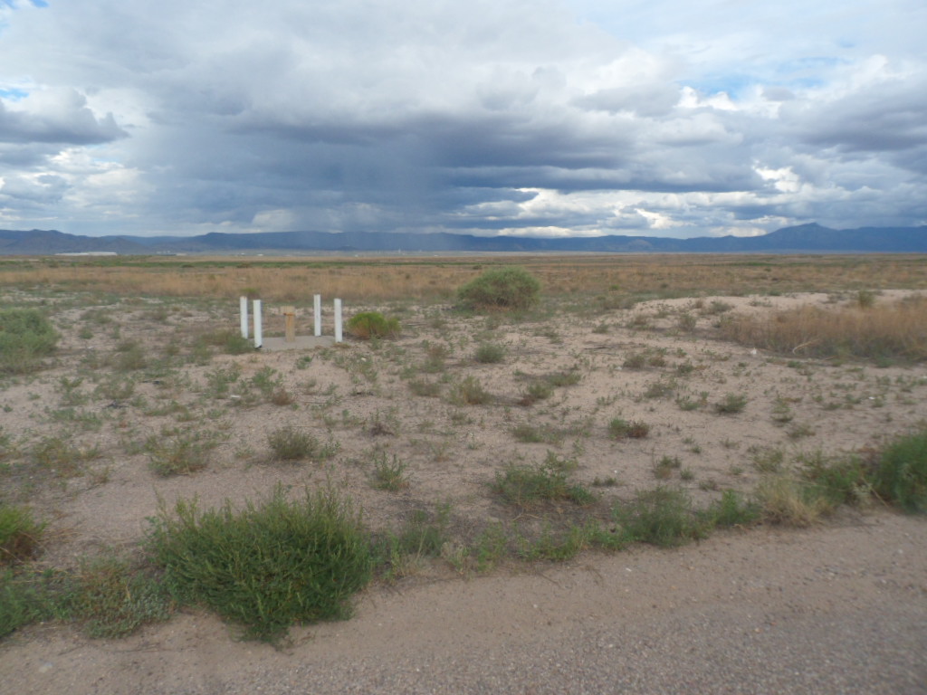
 Bloody Roadblock - Looks like Bobby Foster Road.
Left: Bobby Foster Rd. SE, near Q Studios, has been used for highway-related scenes in numerous movies, including "The Last Stand."
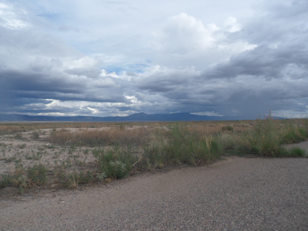
 General area of the roadblock location.
 General area of the roadblock location.
New Road, Roads – Prob. NV
Warehouse – Dinkum Museum
 Airport – ABQ – Likely Double Eagle Airport – exit out N or E side of hangar
Double Eagle Airport.
 Double Eagle Airport.
Cornfield
Summerton Mountain backdrop appears to be M Mountain between Lemitar & Escondida.