 Familiar Haunts Between Las Vegas And Sacramento
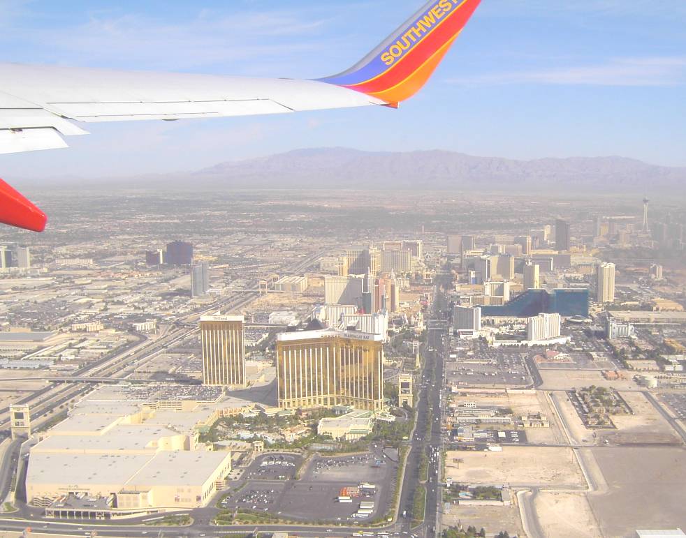
Left: The Las Vegas Strip. The Mandalay Bay Hotel and Resort is in the foreground, where Kelly Daniells performs nightly.
We live in an Age of Miracles, when SO MUCH can be learned just by looking out the window of an aircraft!
 Contrail shadow across the land, across the southwestern flank of the Spring Mountains, west of Las Vegas. Highway 160 crosses over Mountain Springs Summit (5,493 ft a.m.s.l.) down there.
 The same contrail (above), and its remarkably dark and vivid shadow on a haze layer at the top of the Planetary Boundary Layer (PBL).
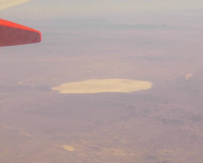 At first, I thought this was Coaldale Playa, but in retrospect, it's probably Mud Lake, SE of Tonopah. Not many other round playas in the desert (although Willcox Playa in southeastern Arizona and Searles Lake in California come to mind).
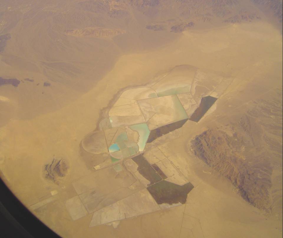
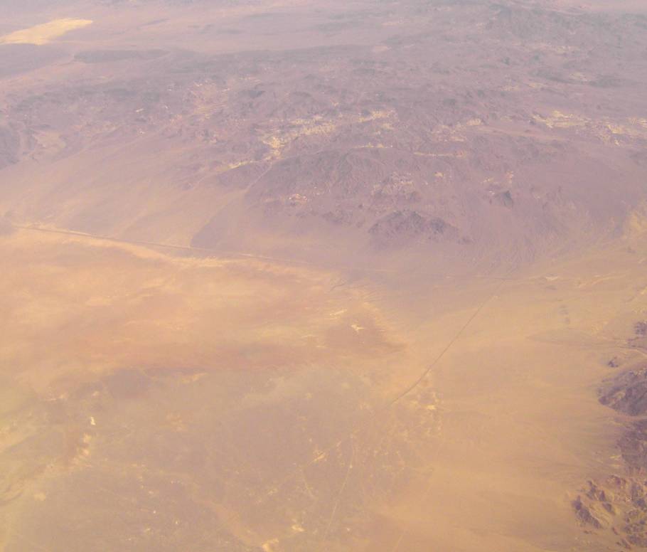
What is this crazy place? It may be a salt marsh near Silver Peak, NV, but I'm not sure.
 At first, I thought this was the highway intersection between Highway 395 (left-to-right across center of picture), and Highway 3 (bottom-to-middle along right edge). Just a wide spot in the desert, really, but I'm fond of it nonetheless. I had good times playing with my dog Stella, in December, 1993, at this intersection. Stella vanished in February, 1994, and I've been sad about it ever since.
Looking again, I may be wrong. Now, I think this is the intersection between Highway 10 and Highway 395, south of Mina. Also another wide spot in the desert!
 Walker Lake, remnant of Ice Age Lake Bonneville. I love this semi-desolate salt lake! Just imagine it one thousand times bigger, and that's Ice Age Lake Bonneville!
 Yerington, Nevada, with the East Walker River flowing in from the west (left) and flowing out to the east (right).
 Crazy ranchettes near the intersection of Highway 395 and Highway 3 to Yerington, right near the CA-NV state line, about 20 miles SE of Minden, NV. Is that Topaz lake down there? It looks so small! There is a U.S. Marine base just south of Topaz Lake, over the state line in California.
I can't quite figure out the exact attraction of living here - far from civilization, hard-scrabble (wait - I'm from Corrales, NM, not much of a different kind of place, so I should just shut up).
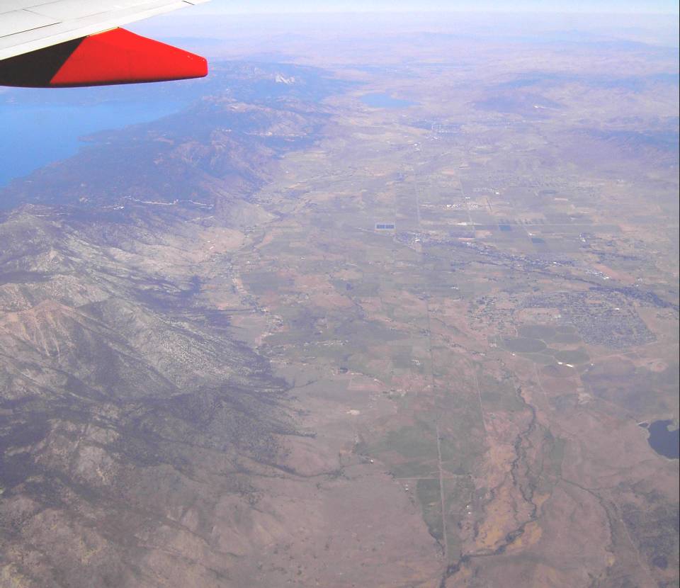 Looking north along the CA-NV state line, just east of Lake Tahoe. Washoe Lake is evident - it's just on the other side of Carson City, NV.
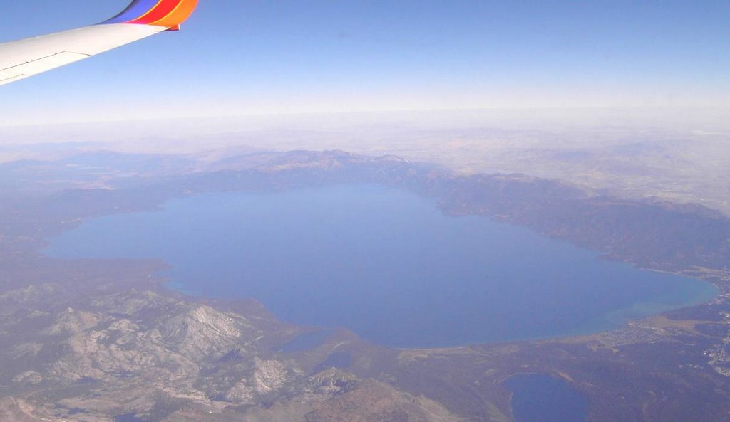 Lake Tahoe, as seen from the southwest, looking past the big bathtub provided by the Sierra Nevada, into the Great Beyond of northern Nevada.
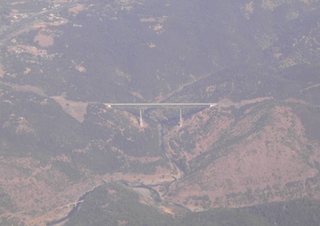 Bridge over the American River, on Highway 49, just south of Auburn, CA.
No comments:
Post a Comment