Sacramento area community musical theater (esp. DMTC in Davis, 2000-2020); Liberal politics; Meteorology; "Breaking Bad," "Better Call Saul," and Albuquerque movie filming locations; New Mexico and California arcana, and general weirdness.
Time to check in on everyone's favorite virus. Rates of new infection are declining over big swathes of the world, including the U.S. (The South is finally doing better; Alaska and the northern tier of states, like North Dakota, are the problem places now.)
Rates are still sporadically high on certain Caribbean islands, like Barbados. The troubles that were apparent last month in eastern Europe are continuing, and spreading across northern Europe as winter creeps closer and people retreat indoors. Covid rates in the UK remain stubbornly high.
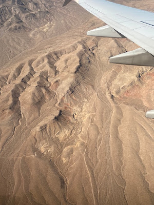
It looks like the heavy rainfall on Sunday kicked the level of Folsom Lake (near Sacramento) up 17 feet so far, setting it back to where it was at the end of June. Still, the lake level is pretty low. The heavy rain fell on bone-dry ground, so much of the water was soaked up like a sponge.
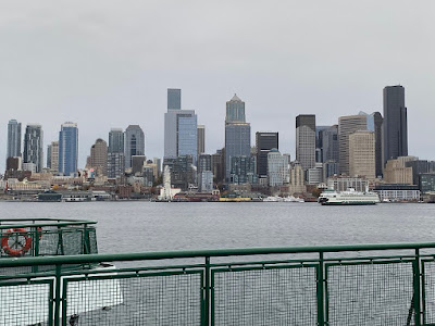
(I flew in from Seattle Sunday evening, and I was hoping we wouldn't skid off the runway! It was surprising how little flooding there was, considering the amount of rain. That dry, dry ground eagerly sucked up the water.)
We set impressive rainfall records on Sunday, at least by local standards. With 5.44 inches of rain in 24 hours at the Downtown Sacramento station, we beat the previous record of 5.28 inches on April 20, 1880. Blue Canyon got over 10 inches of rain!
NATIONAL WEATHER SERVICE SACRAMENTO
425 AM PDT MON OCT 25 2021
...ALL TIME DAILY RECORD SETTING RAIN AT SEVERAL NORCAL
LOCATIONS ON SUNDAY...
...SACRAMENTO CITY
...
A RECORD RAINFALL OF 5.44 INCHES WAS SET AT SACRAMENTO CITY
YESTERDAY. THIS BREAKS THE ALL TIME ONE DAY RECORD RAINFALL
OF 5.28 INCHES FROM APRIL 20, 1880. THE PREVIOUS DAILY RECORD
FOR OCT 24 WAS 1.21 INCHES SET IN 2010.
...SACRAMENTO EXECUTIVE AIRPORT...
A RECORD RAINFALL OF 5.41 INCHES WAS SET AT SACRAMENTO EXEC
AIRPORT YESTERDAY. THIS BREAKS THE ALL TIME ONE DAY RECORD
RAINFALL OF 3.77 INCHES FROM OCTOBER 13, 1962. THE PREVIOUS
DAILY RECORD FOR OCT 24 WAS 1.08 INCHES SET IN 2010.
...BLUE CANYON
...
A RECORD RAINFALL OF 10.40 INCHES WAS SET AT BLUE CANYON
YESTERDAY. THIS BREAKS THE ALL TIME ONE DAY RECORD RAINFALL
OF 9.33 INCHES FROM DECEMBER 22, 1964. THE PREVIOUS DAILY
RECORD FOR OCT 24 WAS 6.34 INCHES SET IN 2010.
...DAILY RAINFALL RECORDS SET AT THE FOLLOWING LOCATIONS ON
SUNDAY OCTOBER 24...
...REDDING AIRPORT
...
A RECORD RAINFALL OF 2.99 INCHES FELL AT THE REDDING AIRPORT
YESTERDAY. THIS BREAKS THE OLD RECORD OF 2.29 INCHES SET IN
2010.
...OROVILLE AIRPORT
...
A RECORD RAINFALL OF 4.57 INCHES FELL AT THE OROVILLE
AIRPORT YESTERDAY. THIS BREAKS THE OLD RECORD OF 1.42 SET IN
2010.
...SACRAMENTO INTERNATIONAL AIRPORT
...
A RECORD RAINFALL OF 4.13 INCHES FELL AT THE SACRAMENTO
INTERNATIONAL AIRPORT YESTERDAY. THIS BREAKS THE OLD RECORD
OF 0.90 INCHES SET IN 1998.
Walt asks: Is this La Nina? My response:
I tend to be skeptical about La Nina, since we're so far from the Equator. La Nina has a huge impact along the Equator, but that impact tails off with distance. The Pacific Decadal Oscillation is closer, and it tends to work together with La Nina. Still, the PDO is negative, which tends to mean a drier California, so who knows? I noticed last month that a big Rossby wave was parked off the west coast, which is very favorable for California rain. In the Northern Hemisphere, there are typically five to seven big Rossby waves parked around the globe at any one time. I want the one west of California to stay there through the winter. The most recent storm in California was an Atmospheric River, a recent coinage. Marty Ralph has made a career in NOAA based on Atmospheric Rivers. (I was Marty's junior-level lab instructor when I was a grad student and he was an undergrad at the University of Arizona. It's interesting following his career.)
I wasn't able to stay long at the Pike St. Marketplace. I needed to take my sister Marra to the airport. She tried instead to have me take her to a train station and ride from there, but that didn't work, so I took her straight to the airport. It was too early for my flight, so I dawdled near a shopping mall. I ate lunch at Red Robin and shopped for cameras at Best Buy before daring the rain storm and heading to the airport..