Flooding:
Extreme rainfall has led to devastating floods across Nepal, India, and Bangladesh, killing nearly 1,200 people and displacing millions.
Flooding:Extreme rainfall has led to devastating floods across Nepal, India, and Bangladesh, killing nearly 1,200 people and displacing millions.
Houstonians who didn't evacuate aren't stupid, or arrogant, or naive. They didn't have their heads in the sand and they didn't ignore the weather predictions. They're people with a better sense of what's involved in a major evacuation, and what could possibly go wrong, than most of the people in this country. Stop second-guessing their mayor, stop shaking your head at "those people" and mocking them for needing to be plucked off their rooftops by helicopters.
Help them.

"This is the third straight year that Houston has endured a devastating, once-in-a-lifetime flood. There were the Memorial Day floods in 2015 and the Tax Day floods in 2016. Together the storms killed 16 people and caused more than $1 billion in damage. More than a third of the properties that flooded in Houston’s 2015 Memorial Day floods were located outside the “hundred-year floodplain,” the zone in which FEMA requires homeowners with government-backed mortgages to elevate homes or buy flood insurance. Now with Harvey, Houston has been hit with six “hundred-year storms” since 1989."
 I've never been in this corner of the Great Basin before: Gray's Butte, near Alkali Lake, at the north end of Abert Rim Country in southern Oregon. Love the vistas!
 Children's artwork at the highway rest stop.

 Abert Lake. Water! We are back in the Pleistocene again!


 Near Lakeview, Oregon, the highway makes its final ascent out of the Great Basin.
  Where's Mt. Shasta? Where's Mt. Shasta? Oh! Right in front of me!

 Malheur National Wildlife Refuge Headquarters (recently renovated because of an invasion of assclowns).
 The firefighter barracks were where Ammon Bundy and his conservative assclowns made themselves at home during their siege. I wanted to look at the trench the dug out using a backhoe, apparently as a tank trap, which they dug through Paiute sacred relics and used as a toilet trench, but the fellow said it had been filled in and I'd never be able to tell it had ever been there.
 Delightful museum!


 The biggest problem at Malheur is an infestation of carp. These fish eat everything in sight and limit the natural productivity of the refuge. They've been trying all kinds of things to fight the carp since 1955.
 Land use is intricate at Malheur. The refuge has to coordinate with private landowners through the basin to fight carp, and to help try to coordinate harvesting so as not to pose a threat to bird nesting sites.
 When they poured the concrete for this sidewalk, some large animal couldn't wait for the concrete to cure.
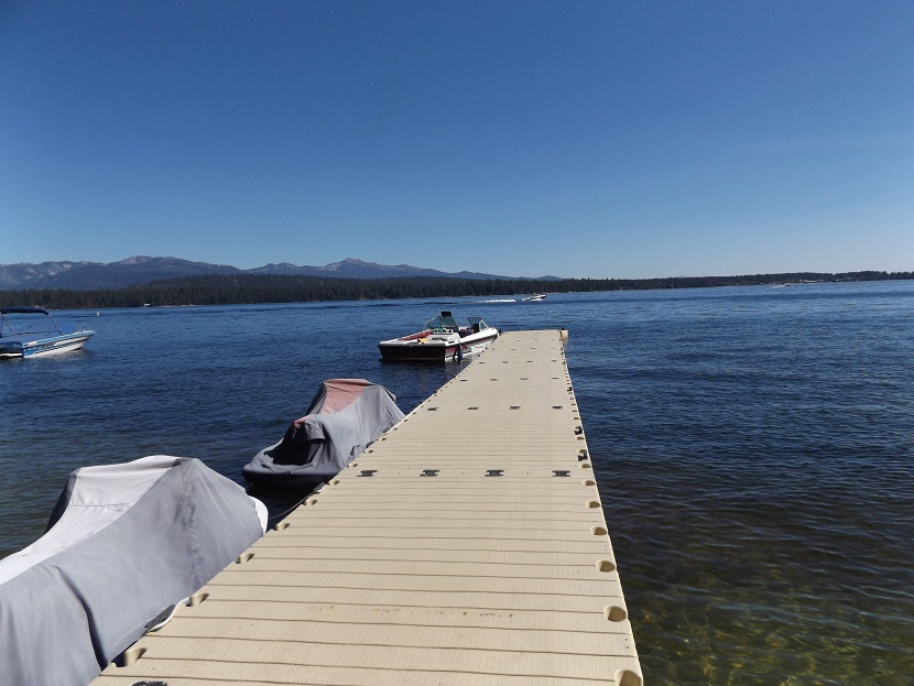
 I was surprised by the size of the Malheur River. A dry land, but with access to more water than in the American Southwest.
 Burns is the largest town in 150 miles in any direction. And it's not that big.
 I wanted steak, so I ate here.
 I was charmed by these abrupt mesas and flatlands with swales near the Malheur National Wildlife Refuge. It reminded me very, very much of New Mexico, on the opposite side of the Great Basin, a thousand miles away. To me, it looked like Native American paradise. Desert, but with lots more water and wildlife! If the Ancestral Pueblo Indians had known of this place, they would have left New Mexico immediately and come over here. And this place wasn't empty either - the Paiute are nearby.
 Bedsheet to look for shadow bands. It was a brand-new set of queen-sized bed sheets. In retrospect, I wish I had ironed it in advance, since the shadow bands were subtle.
 The folks in our corner of Idaho were surprised at how small the crowds were. They were expecting something apocalyptic, but it was nice. The rafters were shocked at how small the crowds were at the Cabarton launch site into the Payette River - the smallest they had ever seen. I understand crowds were much bigger, however, near Idaho Falls - the closest place for Salt Lake City crowds to go.

 The party next to us on the lawn brought a colander with which to monitor the eclipse.
 There were several osprey nests nearby, with nestlings, and osprey. We vowed to try and watch them for any unusual behavior, but in the end we were too distracted by the eclipse to do so.
 Camp Buzzell.
 The Payette River ran past Kelly's Whitewater Park.

 Volunteer models for the gear offered by Idaho Shirts (which I promptly ordered online).
 My understanding was that it was better to underexpose photos of the total eclipse. I underexposed the shots so much that even with digital enhancement, you can barely see the Sun. Oh well. Maybe next time....


 Photo by Janice Mathews.